

UPDATE: Dangerous heat sets new records as temps soar to 100° in parts of state
Two days of stifling heat await New Jersey on Monday and Tuesday with temperatures rising as high as 100 degrees and real-feel temperatures that could reach 110.
Seventeen counties in New Jersey are under an extreme heat warning until 8 p.m. Wednesday,
Monday will be the most humid day of the heat wave, with widespread heat indices of 105 to 110, the National Weather Service said in its morning forecast discussion.
Four counties will be under a less serious heat advisory from 8 a.m. Monday until 8 p.m. Wednesday — Salem, Cumberland, Atlantic and Cape May.

Seventeen New Jersey counties are under an extreme heat warning until Wednesday evening.National Weather Service
“We simply cannot stress this enough: it will be dangerously hot the next three days,” the National Weather Service said Monday.
It’ll stay quite warm overnight with lows only falling into the mid to upper 70s in most of New Jersey.
While the next two days will be the hottest of the week, there won’t be much relief on Wednesday with highs still well into the 90s. Rain and thunderstorms are possible Wednesday afternoon and evening.

The heat index will be well into the 100s on Tuesday in New Jersey and surrounding areas, AccuWeather.com says. AccAccuWeather.com
Forecasters advise residents to take frequent breaks if outside and to stay hydrated during the extreme heat event.
Thursday will be a little less oppressive with highs in the upper 80s to near 90 and more rain chances.
On Friday, highs will be in the upper 70s to about 80.

Several cities in our region, including Trenton, have a chance of breaking their record high temperature for June 23, as the first heat wave of the year intensifies this week. This chart shows the normal highs, forecast highs and record highs for today.Len Melisurgo | NJ Advance Media for NJ.com
A record high is likely to be set on Monday in Trenton, beating the last record high of 97 in 1894. The daily record high at Atlantic City International Airport for June 23 is 99, set last year and also in 1988.
At Newark Liberty International Airport, the June 23 record high of 99 was set last year.
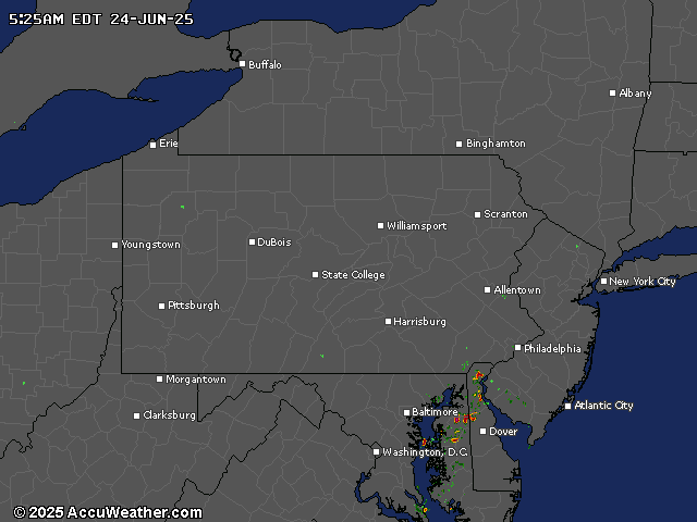
Current weather radar
Stories by Jeff Goldman
Our journalism needs your support. Please subscribe today to NJ.com.
NJ Advance Media staff writer Len Melisurgo contributed to this report.
Jeff Goldman may be reached at jeff_goldman@njadvancemedia.com.